
Page 14 - SST Class 05
P. 14
Distance and Scale
A map is a proportionately small drawing of a very large Know It!
area. It is important that a map shows the distances between v A book of maps is called
different places correctly. For this purpose, a scale is used. It an atlas.
is the ratio between ground distance and map distance. That
is, the ground distance of one kilometre on the ground can be shown as one centimeter
or one inch on a map.
The scale is shown on the map to let people know what scale has been used. It can be
shown in two ways :
1. Statement Scale : We write the scale thus : 1 cm = 1 km.
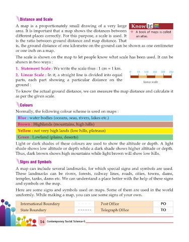
0 50 100 150 200 250
2. Linear Scale : In it, a straight line is divided into equal
parts, each part showing a particular distance on the
linear scale
ground :
To know the actual ground distance, we can measure the map distance and calculate it
as per the given scale.
Colours
Normally, the following colour scheme is used on maps :
Blue : water bodies (oceans, seas, rivers, lakes etc.)
Brown : Highlands (mountains, high hills)
Yellow : not very high lands (low hills, plateaus)
Green : Lowland (plains, deserts)
Light or dark shades of these colours are used to show the altitude or depth. A light
shade shows low altitude or depth while a dark shade shows higher altitude or depth.
Thus, dark brown shows high mountains while light brown will show low hills.
Signs and Symbols
A map can include several landmarks, for which special signs and symbols are used.
These landmarks can be rivers, forests, railway lines, roads, cities, towns, dams,
temples, tanks, dams etc. We can understand a place better with the help of these signs
and symbols on the map.
Here are some signs and symbols used on maps. Some of them are used in the world
uniformly. While making a map, you can use some signs of your own.
International Boundary Post Office PO
State Boundary Telegraph Office TO
14 Contemporary Social Science-5